Become part of the movement for unbiased, accessible election information. Donate today.
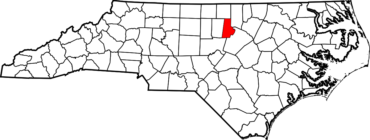
File:1200px-Map of North Carolina highlighting Durham County.png
From Ballotpedia
Size of this preview: 800 × 303 pixels. Other resolution: 1,200 × 455 pixels.
Original file (1,200 × 455 pixels, file size: 134 KB, MIME type: image/png)
This image comes from https://ballotpedia.org/File:Map_of_North_Carolina_highlighting_Durham_County.svg and is in the public domain.
you can send your inquiry to editor@ballotpedia.org |
{{subst:User:Dbenbenn/clm|county=Durham County|state=North Carolina|type=county}}
File history
Click on a date/time to view the file as it appeared at that time.
| Date/Time | Thumbnail | Dimensions | User | Comment | |
|---|---|---|---|---|---|
| current | 15:08, 31 August 2017 | 1,200 × 455 (134 KB) | Dave Beaudoin (contribs) | {{pd | link = https://ballotpedia.org/File:Map_of_North_Carolina_highlighting_Durham_County.svg}} {{subst:User:Dbenbenn/clm|county=Durham County|state=North Carolina|type=county}} |
You cannot overwrite this file.
File usage
There are no pages that use this file.