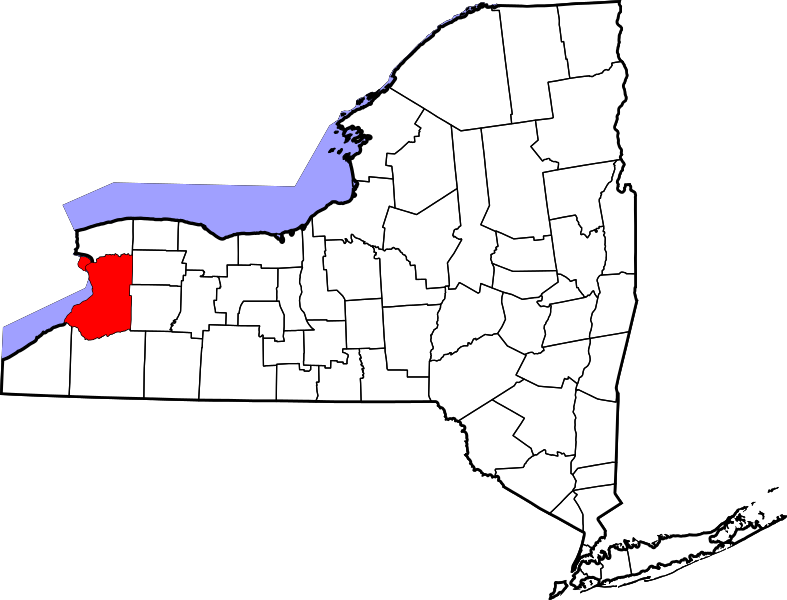
File:787px-Map of New York highlighting Erie County.png
From Ballotpedia
No higher resolution available.
787px-Map_of_New_York_highlighting_Erie_County.png (787 × 600 pixels, file size: 94 KB, MIME type: image/png)
This image comes from https://ballotpedia.org/File:Map_of_New_York_highlighting_Erie_County.svg and is in the public domain.
you can send your inquiry to editor@ballotpedia.org |
File history
Click on a date/time to view the file as it appeared at that time.
| Date/Time | Thumbnail | Dimensions | User | Comment | |
|---|---|---|---|---|---|
| current | 17:54, 26 September 2017 | | 787 × 600 (94 KB) | Nick Katers (contribs) | {{pd|link=https://ballotpedia.org/File:Map_of_New_York_highlighting_Erie_County.svg}} Category:New York images |
You cannot overwrite this file.
File usage
The following page uses this file: