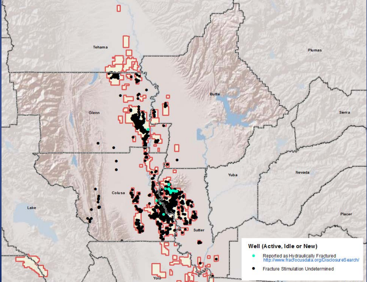
File:ButteCountyFrackingMap.png
From Ballotpedia
No higher resolution available.
ButteCountyFrackingMap.png (735 × 565 pixels, file size: 520 KB, MIME type: image/png)
This image comes from http://buttecounty.granicus.com/MetaViewer.php?view_id=2&clip_id=224&meta_id=37572 and is in the public domain.
you can send your inquiry to editor@ballotpedia.org |
File history
Click on a date/time to view the file as it appeared at that time.
| Date/Time | Thumbnail | Dimensions | User | Comment | |
|---|---|---|---|---|---|
| current | 04:36, 31 March 2016 | | 735 × 565 (520 KB) | Josh Altic (contribs) | {{pd | link = http://buttecounty.granicus.com/MetaViewer.php?view_id=2&clip_id=224&meta_id=37572}}Category:Local ballot measure images |
You cannot overwrite this file.
File usage
The following page uses this file: