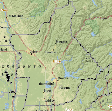
File:Butte County, CA oil and gas well map.png
From Ballotpedia
No higher resolution available.
Butte_County,_CA_oil_and_gas_well_map.png (432 × 428 pixels, file size: 359 KB, MIME type: image/png)
you can send your inquiry to editor@ballotpedia.org |
File history
Click on a date/time to view the file as it appeared at that time.
| Date/Time | Thumbnail | Dimensions | User | Comment | |
|---|---|---|---|---|---|
| current | 19:02, 8 May 2014 | | 432 × 428 (359 KB) | Kayla Harris (contribs) | Butte County, CA oil and gas wells map {{pd-fedgov | link = http://maps.conservation.ca.gov/doggr/index.html#}} Category:Energy policy images |
You cannot overwrite this file.
File usage
There are no pages that use this file.