Your feedback ensures we stay focused on the facts that matter to you most—take our survey.
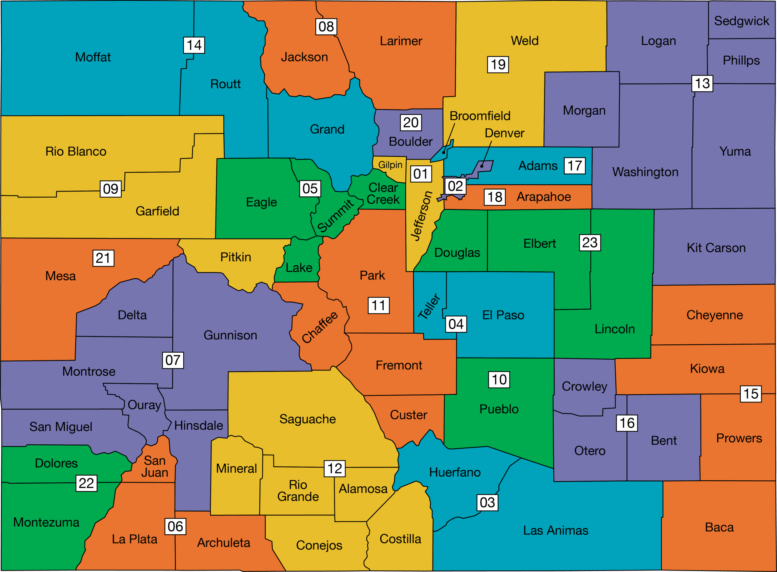
File:Colorado Map-Whole.png
From Ballotpedia

Size of this preview: 800 × 589 pixels. Other resolutions: 2,560 × 1,885 pixels | 4,114 × 3,030 pixels.
Original file (4,114 × 3,030 pixels, file size: 559 KB, MIME type: image/png)

you can send your inquiry to editor@ballotpedia.org |
File history
Click on a date/time to view the file as it appeared at that time.
| Date/Time | Thumbnail | Dimensions | User | Comment | |
|---|---|---|---|---|---|
| current | 13:53, 5 May 2025 | | 4,114 × 3,030 (559 KB) | Ellie Mikus (contribs) | 2025 updates; 18 and 23rd district split. Category:Colorado maps |
| 16:18, 6 August 2013 | 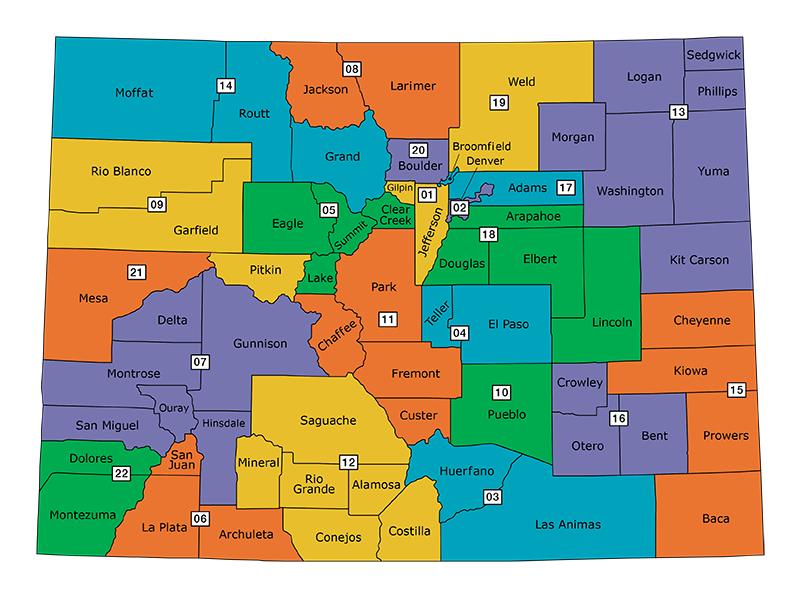 | 800 × 599 (208 KB) | Maxbnorton (contribs) | Category:Colorado maps |
You cannot overwrite this file.
File usage
The following 2 pages use this file: