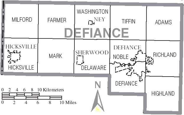
File:Defiance Ohio.PNG
From Ballotpedia
No higher resolution available.
Defiance_Ohio.PNG (623 × 389 pixels, file size: 29 KB, MIME type: image/png)
This image comes from http://commons.wikimedia.org/wiki/File:Map_of_Defiance_County_Ohio_With_Municipal_and_Township_Labels.PNG and is licensed under the GFDL
you can send your inquiry to editor@ballotpedia.org |
File history
Click on a date/time to view the file as it appeared at that time.
| Date/Time | Thumbnail | Dimensions | User | Comment | |
|---|---|---|---|---|---|
| current | 19:22, 20 October 2009 | | 623 × 389 (29 KB) | MMH (contribs) | This [http://commons.wikimedia.org/wiki/File:Map_of_Defiance_County_Ohio_With_Municipal_and_Township_Labels.PNG file is from Wikimedia Commons] and is licensed for re-use under the GDFL license. |
You cannot overwrite this file.
File usage
The following file is a duplicate of this file (more details):
- File:Map of Defiance County Ohio With Municipal and Township Labels.PNG from Wikimedia Commons
The following page uses this file: