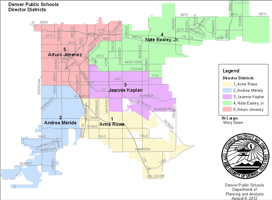
File:Denver Public Schools District Map.jpg
From Ballotpedia
Size of this preview: 800 × 590 pixels. Other resolution: 940 × 693 pixels.
Original file (940 × 693 pixels, file size: 90 KB, MIME type: image/jpeg)
This image comes from http://planning.dpsk12.org/maps-boundaries and is in the public domain.
you can send your inquiry to editor@ballotpedia.org |
File history
Click on a date/time to view the file as it appeared at that time.
| Date/Time | Thumbnail | Dimensions | User | Comment | |
|---|---|---|---|---|---|
| current | 16:28, 29 October 2013 | | 940 × 693 (90 KB) | Nick Katers (contribs) | {{pd | link = http://planning.dpsk12.org/maps-boundaries }} Category: Colorado school board maps Category: Colorado school board images |
You cannot overwrite this file.
File usage
The following page uses this file: