Help us improve in just 2 minutes—share your thoughts in our reader survey.
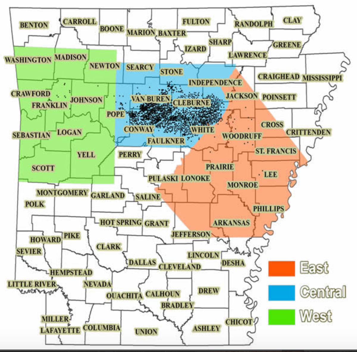
File:Fayetteville Shale Arkansas Map 2017.png
From Ballotpedia
Size of this preview: 608 × 600 pixels. Other resolution: 1,198 × 1,182 pixels.
Original file (1,198 × 1,182 pixels, file size: 1.59 MB, MIME type: image/png)
you can send your inquiry to editor@ballotpedia.org |
File history
Click on a date/time to view the file as it appeared at that time.
| Date/Time | Thumbnail | Dimensions | User | Comment | |
|---|---|---|---|---|---|
| current | 17:59, 16 May 2017 | | 1,198 × 1,182 (1.59 MB) | Taylor Kempema (contribs) | {{State document | link = http://www.geology.ar.gov/fossilfuel_maps/fayetteville_play.htm}} Category:Energy policy images |
You cannot overwrite this file.
File usage
The following page uses this file: