Your feedback ensures we stay focused on the facts that matter to you most—take our survey.
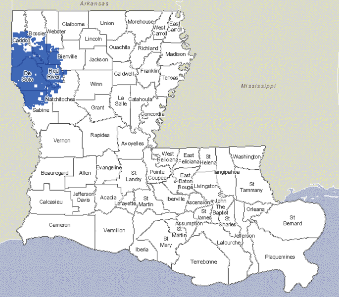
File:Haynesville Shale Units Map 2017.png
From Ballotpedia

Size of this preview: 685 × 600 pixels. Other resolution: 691 × 605 pixels.
Original file (691 × 605 pixels, file size: 120 KB, MIME type: image/png)
you can send your inquiry to editor@ballotpedia.org |
File history
Click on a date/time to view the file as it appeared at that time.
| Date/Time | Thumbnail | Dimensions | User | Comment | |
|---|---|---|---|---|---|
| current | 19:54, 17 May 2017 | | 691 × 605 (120 KB) | Taylor Kempema (contribs) | {{State document | link = http://sonris-www.dnr.state.la.us/gis/agsweb/IE/JSViewer/index.html?TemplateID=181}} Category:Energy policy images |
You cannot overwrite this file.
File usage
The following page uses this file: