Help us improve in just 2 minutes—share your thoughts in our reader survey.
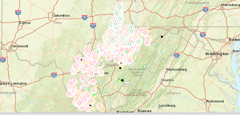
File:Horizontal wells map in West Virginia May 2017.png
From Ballotpedia
No higher resolution available.
Horizontal_wells_map_in_West_Virginia_May_2017.png (790 × 386 pixels, file size: 640 KB, MIME type: image/png)
you can send your inquiry to editor@ballotpedia.org |
File history
Click on a date/time to view the file as it appeared at that time.
| Date/Time | Thumbnail | Dimensions | User | Comment | |
|---|---|---|---|---|---|
| current | 16:50, 19 May 2017 | | 790 × 386 (640 KB) | Taylor Kempema (contribs) | {{State document | link = http://tagis.dep.wv.gov/oog/}} Category:Energy policy images |
You cannot overwrite this file.
File usage
The following file is a duplicate of this file (more details):
.png)
There are no pages that use this file.