Become part of the movement for unbiased, accessible election information. Donate today.
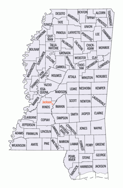
File:MScountiesmap.png
From Ballotpedia
No higher resolution available.
MScountiesmap.png (392 × 599 pixels, file size: 145 KB, MIME type: image/png)
This image is from Wikimedia Commons (http://commons.wikimedia.org/wiki/File:Mississippi_counties_map.png) and is used under the GNU Free Documentation License.
File history
Click on a date/time to view the file as it appeared at that time.
| Date/Time | Thumbnail | Dimensions | User | Comment | |
|---|---|---|---|---|---|
| current | 13:16, 19 November 2010 | | 392 × 599 (145 KB) | Superoxygen (contribs) | This image is from Wikimedia Commons (http://commons.wikimedia.org/wiki/File:Mississippi_counties_map.png) and is used under the GNU Free Documentation License. |
You cannot overwrite this file.
File usage
There are no pages that use this file.