Become part of the movement for unbiased, accessible election information. Donate today.
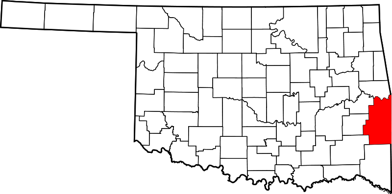
File:Map of Oklahoma highlighting Le Flore County.png
From Ballotpedia
No higher resolution available.
Map_of_Oklahoma_highlighting_Le_Flore_County.png (800 × 397 pixels, file size: 57 KB, MIME type: image/png)
File history
Click on a date/time to view the file as it appeared at that time.
| Date/Time | Thumbnail | Dimensions | User | Comment | |
|---|---|---|---|---|---|
| current | 23:22, 16 February 2014 | | 800 × 397 (57 KB) | KaylaM (contribs) | Category:Oklahoma school board maps |
You cannot overwrite this file.
File usage
The following file is a duplicate of this file (more details):
There are no pages that use this file.