Help us improve in just 2 minutes—share your thoughts in our reader survey.
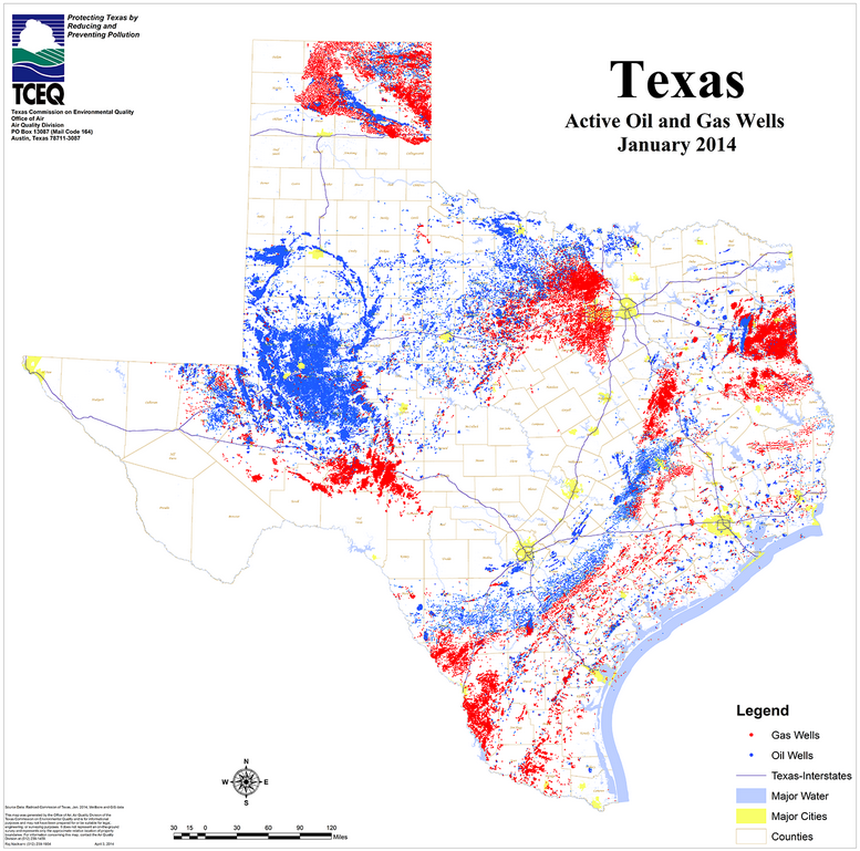
File:Map of oil and gas wells in Texas, January 2014.png
From Ballotpedia
Size of this preview: 606 × 600 pixels. Other resolution: 777 × 769 pixels.
Original file (777 × 769 pixels, file size: 584 KB, MIME type: image/png)
 . It is an image of an official state government document, such as the text of a law, statute, amendment or legal ruling. It has been uploaded under the good-faith belief that reproducing an image of an official state government document such as a law, statute, amendment or legal ruling does not violate the copyright laws of the state in question.
you can send your inquiry to editor@ballotpedia.org |
File history
Click on a date/time to view the file as it appeared at that time.
| Date/Time | Thumbnail | Dimensions | User | Comment | |
|---|---|---|---|---|---|
| current | 23:20, 16 September 2014 | | 777 × 769 (584 KB) | Kayla Harris (contribs) | Category:Energy policy images {{state document |link = http://www.tceq.state.tx.us/assets/public/implementation/barnett_shale/bs_images/txOilGasWells.png }} |
You cannot overwrite this file.
File usage
The following 13 pages use this file:
- Energy and the 2014 election: the ballots and beyond
- Review of ballot measure law changes in 2015: Four states remove local authority over contentious issues
- The Policy Tracker: Energy and Environment: January 2015
- User:Kayla Harris/DW Pie long
- User:Kayla Harris/DW bar long
- User:Kayla Harris/DW line long
- User:Kayla Harris/DW map long
- User:Kayla Harris/DW table long
- User:Kayla Harris/GO Pie long
- User:Kayla Harris/GO bar long
- User:Kayla Harris/GO line long
- User:Kayla Harris/GO map long
- User:Kayla Harris/GO table long