Become part of the movement for unbiased, accessible election information. Donate today.
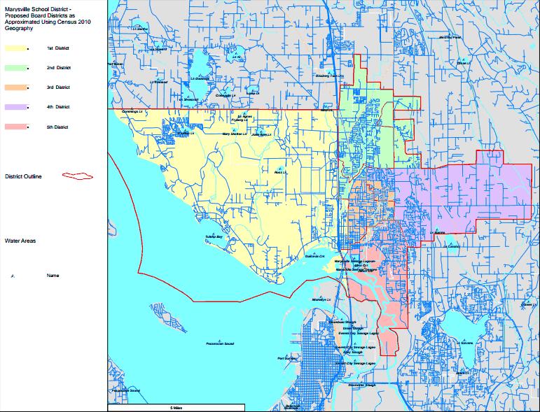
File:Marysville School District Map.jpg
From Ballotpedia
No higher resolution available.
Marysville_School_District_Map.jpg (771 × 589 pixels, file size: 119 KB, MIME type: image/jpeg)
This image comes from https://docs.google.com/a/ballotpedia.org/file/d/0B7gGHUNbLdAMMVduaHZYZk9EaUk/edit?usp=sharing and is in the public domain.
you can send your inquiry to editor@ballotpedia.org |
File history
Click on a date/time to view the file as it appeared at that time.
| Date/Time | Thumbnail | Dimensions | User | Comment | |
|---|---|---|---|---|---|
| current | 20:42, 26 September 2013 | | 771 × 589 (119 KB) | Nick Katers (contribs) | {{pd | link = https://docs.google.com/a/ballotpedia.org/file/d/0B7gGHUNbLdAMMVduaHZYZk9EaUk/edit?usp=sharing }} Category: Washington school board maps Category: Washington school board images |
You cannot overwrite this file.
File usage
There are no pages that use this file.