Help us improve in just 2 minutes—share your thoughts in our reader survey.
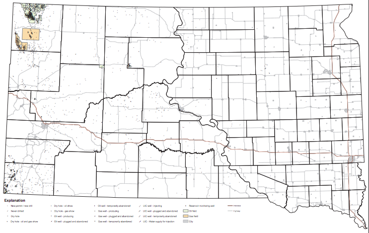
File:Oil and gas wells in South Dakota map 2017.png
From Ballotpedia
No higher resolution available.
Oil_and_gas_wells_in_South_Dakota_map_2017.png (743 × 469 pixels, file size: 209 KB, MIME type: image/png)
you can send your inquiry to editor@ballotpedia.org |
File history
Click on a date/time to view the file as it appeared at that time.
| Date/Time | Thumbnail | Dimensions | User | Comment | |
|---|---|---|---|---|---|
| current | 20:10, 18 May 2017 | | 743 × 469 (209 KB) | Taylor Kempema (contribs) | {{State document | link = http://denr.sd.gov/des/og/maps/New%20Maps%2001.24.2017/State_wide_oil_gas_wells.pdf}} Category:Energy policy images |
You cannot overwrite this file.
File usage
The following page uses this file: