File:Oregoncountiesmap.png
From Ballotpedia
No higher resolution available.
Oregoncountiesmap.png (787 × 591 pixels, file size: 62 KB, MIME type: image/png)
This image comes from United States Census Bureau (dead link) and is in the public domain.
you can send your inquiry to editor@ballotpedia.org |
File history
Click on a date/time to view the file as it appeared at that time.
| Date/Time | Thumbnail | Dimensions | User | Comment | |
|---|---|---|---|---|---|
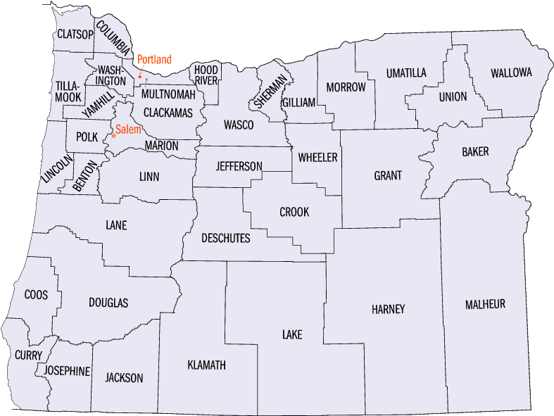
| current | 08:59, 30 May 2011 | | 787 × 591 (62 KB) | Tonyr (contribs) | {{Information |Description={{en|Map of Oregon counties.}} |Source=http://www.fedstats.gov/qf/maps/oregon_map.html |Date= |Author=United States Census Bureau |Permission={{PD-USGov}} |other_versions= }} [[category:Orego |
You cannot overwrite this file.
File usage
There are no pages that use this file.