Become part of the movement for unbiased, accessible election information. Donate today.
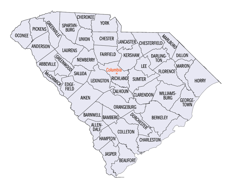
File:South Carolina counties map.png
From Ballotpedia
No higher resolution available.
South_Carolina_counties_map.png (733 × 600 pixels, file size: 220 KB, MIME type: image/png)
This image comes from Wikimedia Commons and is in the public domain.
you can send your inquiry to editor@ballotpedia.org |
File history
Click on a date/time to view the file as it appeared at that time.
| Date/Time | Thumbnail | Dimensions | User | Comment | |
|---|---|---|---|---|---|
| current | 18:36, 1 March 2011 | | 733 × 600 (220 KB) | JohannaH (contribs) | file in the public domain |
You cannot overwrite this file.
File usage
The following file is a duplicate of this file (more details):
The following page uses this file: