Become part of the movement for unbiased, accessible election information. Donate today.
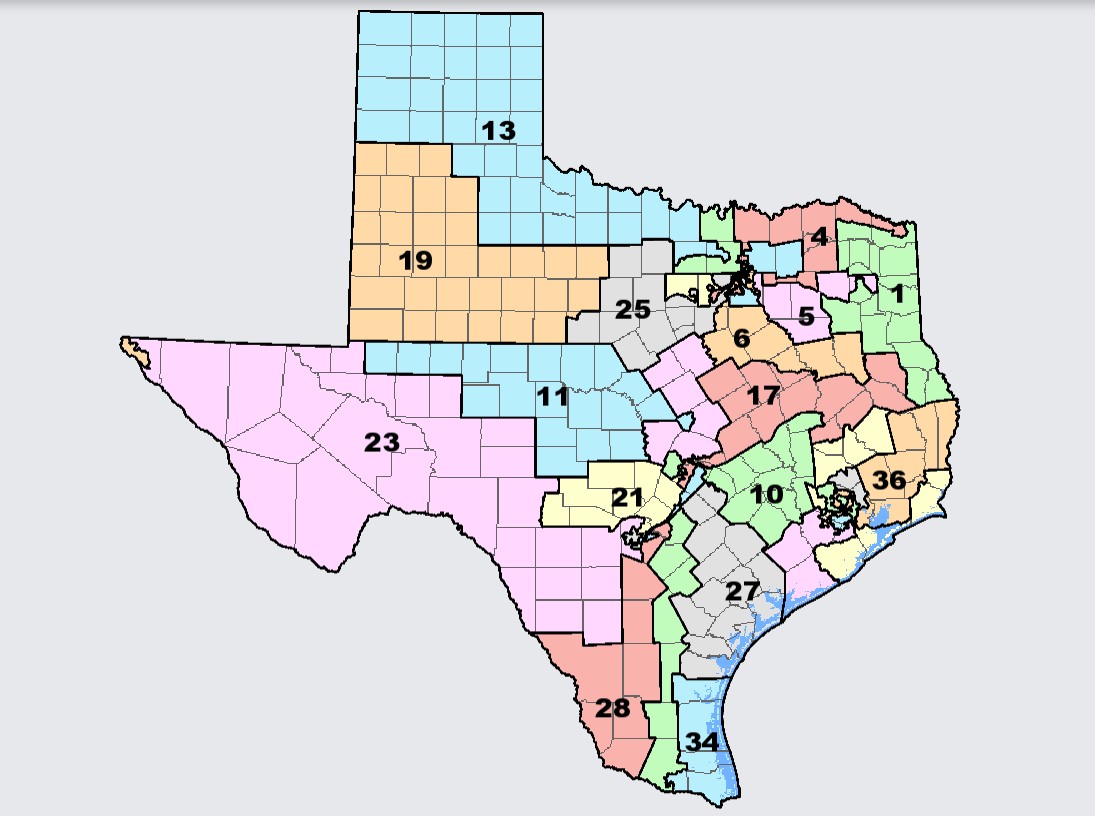
File:TX Congressional Enacted Map.jpg
From Ballotpedia
Size of this preview: 800 × 596 pixels. Other resolution: 1,095 × 816 pixels.
Original file (1,095 × 816 pixels, file size: 131 KB, MIME type: image/jpeg)
This image comes from the Texas Legislature website. The fair use doctrine permits the limited use of copyrighted material without requiring permission from the copyright holder, provided such use is for educational or research purposes. For details on the permission, please see our non-free use rationale guidelines for images. The copyright holder reserves all rights.
you can send your inquiry to editor@ballotpedia.org |
File history
Click on a date/time to view the file as it appeared at that time.
| Date/Time | Thumbnail | Dimensions | User | Comment | |
|---|---|---|---|---|---|
| current | 19:00, 26 October 2021 | | 1,095 × 816 (131 KB) | Ethan Rice (contribs) | {{FairUse | link = [https://dvr.capitol.texas.gov/Congress/50/PLANC2193 Texas Legislature]}} Category:Map images |
You cannot overwrite this file.
File usage
There are no pages that use this file.