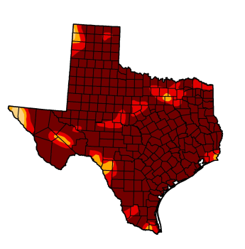
File:Texas Drought Map 2011.png
From Ballotpedia
No higher resolution available.
Texas_Drought_Map_2011.png (345 × 350 pixels, file size: 65 KB, MIME type: image/png)
you can send your inquiry to editor@ballotpedia.org |
File history
Click on a date/time to view the file as it appeared at that time.
| Date/Time | Thumbnail | Dimensions | User | Comment | |
|---|---|---|---|---|---|
| current | 04:44, 1 October 2011 | | 345 × 350 (65 KB) | Jardis (contribs) | {{BP permission | link = http://droughtmonitor.unl.edu/DM_state.htm?TX,S}} Category:Texas images |
You cannot overwrite this file.
File usage
The following 5 pages use this file:
- Proposition 8's defeat leaves many Texans scratching their heads
- Texans to vote on ten constitutional amendments next week
- Texas Water-Stewardship Tax Amendment, Proposition 8 (2011)
- Texas Water Development Bonds Amendment, Proposition 2 (2011)
- Texas burns at record levels, water issues take focus in November election