File:Township40.jpg
From Ballotpedia
No higher resolution available.
Township40.jpg (481 × 512 pixels, file size: 54 KB, MIME type: image/jpeg)
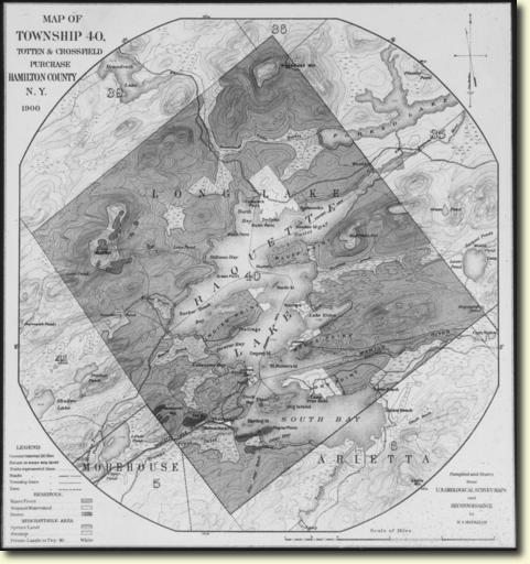
A map of Township 40, the location where land is disputed by the state government and local entities. This is relevant to New York Township 40 Land Dispute Settlement Amendment, Proposal 4 (2013).
File history
Click on a date/time to view the file as it appeared at that time.
| Date/Time | Thumbnail | Dimensions | User | Comment | |
|---|---|---|---|---|---|
| current | 20:35, 1 October 2013 | | 481 × 512 (54 KB) | Ryan Byrne (contribs) | A map of Township 40, the location where land is disputed by the state government and local entities. This is relevant to New York Township 40 Land Dispute Settlement Amendment, Proposal 4 (2013). |
You cannot overwrite this file.
File usage
The following page uses this file: