Your feedback ensures we stay focused on the facts that matter to you most—take our survey.
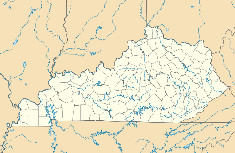
File:USA Kentucky location map.svg
From Ballotpedia

Size of this PNG preview of this SVG file: 800 × 520 pixels. Other resolution: 2,560 × 1,665 pixels.
Original file (SVG file, nominally 1,501 × 976 pixels, file size: 823 KB)
Summary
This image comes from https://commons.wikimedia.org/wiki/File:USA_Kentucky_location_map.svg and is in the public domain.
you can send your inquiry to editor@ballotpedia.org |
File history
Click on a date/time to view the file as it appeared at that time.
| Date/Time | Thumbnail | Dimensions | User | Comment | |
|---|---|---|---|---|---|
| current | 20:22, 27 August 2025 | | 1,501 × 976 (823 KB) | Marielle Bricker (contribs) | {{pd | link = https://commons.wikimedia.org/wiki/File:USA_Kentucky_location_map.svg}} |
You cannot overwrite this file.
File usage
The following file is a duplicate of this file (more details):
- File:USA Kentucky location map.svg from Wikimedia Commons
The following 13 pages use this file:
- Kentucky
- Kentucky's 4th Congressional District election, 2020 (June 23 Republican primary)
- Kentucky Agriculture Commissioner election, 2019
- Kentucky Attorney General election, 2019
- Kentucky Secretary of State election, 2019
- Kentucky Supreme Court elections, 2015
- Kentucky Supreme Court elections, 2019
- Kentucky gubernatorial and lieutenant gubernatorial election, 2019
- Kentucky gubernatorial and lieutenant gubernatorial election, 2019 (May 21 Democratic primary)
- United States Senate election in Kentucky, 2020 (June 23 Democratic primary)
- Template:KYstateprofile2019
- Template:KYstateprofile2020
- Template:Kentucky elections 2015