Become part of the movement for unbiased, accessible election information. Donate today.
File: OrleansVTmap.png: Difference between revisions
From Ballotpedia
(This image is from the website [http://commons.wikimedia.org/wiki/File:Map_of_Vermont_highlighting_Orleans_County.svg Wikimedia Commons] and is in the public domain.) |
No edit summary |
||
| Line 1: | Line 1: | ||
{{pd | link = [http://commons.wikimedia.org/wiki/File:Map_of_Vermont_highlighting_Orleans_County.svg Wikimedia Commons] }} | |||
[[category: Vermont county images]] | |||
This image is from the website [http://commons.wikimedia.org/wiki/File:Map_of_Vermont_highlighting_Orleans_County.svg Wikimedia Commons] and is in the public domain. | This image is from the website [http://commons.wikimedia.org/wiki/File:Map_of_Vermont_highlighting_Orleans_County.svg Wikimedia Commons] and is in the public domain. | ||
Latest revision as of 21:28, 9 June 2011
This image comes from Wikimedia Commons and is in the public domain.
you can send your inquiry to editor@ballotpedia.org |
This image is from the website Wikimedia Commons and is in the public domain.
File history
Click on a date/time to view the file as it appeared at that time.
| Date/Time | Thumbnail | Dimensions | User | Comment | |
|---|---|---|---|---|---|
| current | 21:27, 9 June 2011 | 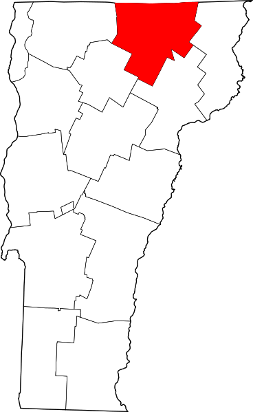 | 368 × 599 (41 KB) | Andieisweird (contribs) | This image is from the website [http://commons.wikimedia.org/wiki/File:Map_of_Vermont_highlighting_Orleans_County.svg Wikimedia Commons] and is in the public domain. |
You cannot overwrite this file.
File usage
There are no pages that use this file.