Help us improve in just 2 minutes—share your thoughts in our reader survey.
File: Map of State of Washington.png: Difference between revisions
From Ballotpedia
([http://commons.wikimedia.org/wiki/File:Map_of_Washington_highlighting_Island_County.svg This map of the State of Washington is in the public domain]. Category:Washington images) |
mNo edit summary |
||
| Line 1: | Line 1: | ||
[http://commons.wikimedia.org/wiki/File:Map_of_Washington_highlighting_Island_County.svg | {{pd| | ||
link=[http://commons.wikimedia.org/wiki/File:Map_of_Washington_highlighting_Island_County.svg Wikimedia Commons]}} | |||
[[Category:Washington images]] | [[Category:Washington maps]] | ||
[[Category:Local ballot measure map images]] | |||
Latest revision as of 17:41, 2 August 2011
This image comes from Wikimedia Commons and is in the public domain.
you can send your inquiry to editor@ballotpedia.org |
File history
Click on a date/time to view the file as it appeared at that time.
| Date/Time | Thumbnail | Dimensions | User | Comment | |
|---|---|---|---|---|---|
| current | 01:43, 22 January 2010 | 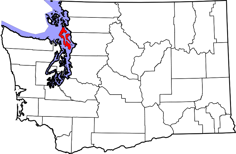 | 800 × 521 (108 KB) | Spokie (contribs) | [http://commons.wikimedia.org/wiki/File:Map_of_Washington_highlighting_Island_County.svg This map of the State of Washington is in the public domain]. Category:Washington images |
You cannot overwrite this file.
File usage
The following file is a duplicate of this file (more details):
The following 10 pages use this file:
- Article XXIV, Washington State Constitution
- Island County, Washington ballot measures
- Local ballot measure elections in 2011
- Local ballot measure elections in 2012
- Local ballot measure elections in 2013
- Local ballot measure elections in 2014
- Local ballot measure elections in 2015
- Washington Constitution
- Washington elections, 2012
- Category:Washington 2012 local ballot measures