Your monthly support provides voters the knowledge they need to make confident decisions at the polls. Donate today.
Category:Texas school board maps
From Ballotpedia
Media in category "Texas school board maps"
The following 21 files are in this category, out of 21 total.
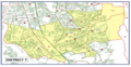
 Austin ISD map.jpg 700 × 572; 74 KB
 Austin ISD Schools.png 612 × 720; 410 KB
 Beaumont-texas-map.jpg 158 × 150; 17 KB
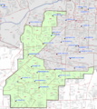
 Belton Independent School District map.jpg 500 × 773; 79 KB
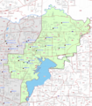
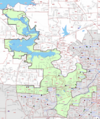
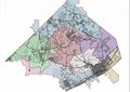 Comal Independent School District map.jpg 896 × 633; 89 KB
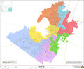
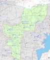
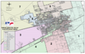
 Dallas Independent School District map.jpg 590 × 704; 46 KB
 El Paso ISD District Map (District 2).png 409 × 210; 214 KB
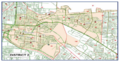
 El Paso ISD District Map (District 6).png 409 × 212; 194 KB
 El Paso ISD District Map (District 7).png 406 × 211; 203 KB
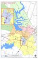
 Fort Bend Independent School District map.jpg 362 × 347; 65 KB
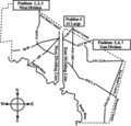
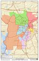
 Fort Worth ISD District 2 map.png 413 × 495; 326 KB
 Fort Worth ISD District 3 map.png 417 × 477; 333 KB
 Fort Worth ISD District 5 map.png 419 × 500; 382 KB
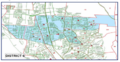
 Fort Worth ISD District 6 map.png 417 × 469; 331 KB
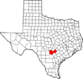 Map of Texas highlighting Guadalupe and Bexar Counties.png 631 × 600; 82 KB
 Map of Texas highlighting Harris and Montgomery Counties.png 640 × 608; 98 KB
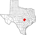 Map of Texas highlighting Travis and Williamson Counties.png 1,077 × 1,024; 196 KB
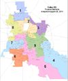
 Midland ISD district map.png 797 × 503; 387 KB
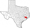
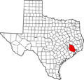
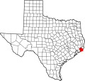 Tx-jefferson.png 631 × 600; 99 KB
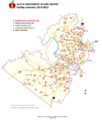
 Tyler ISD map.jpg 1,650 × 2,550; 471 KB
 Ysleta ISD district map.png 900 × 1,200; 2.53 MB


.png)
.png)
.png)


