Help us improve in just 2 minutes—share your thoughts in our reader survey.

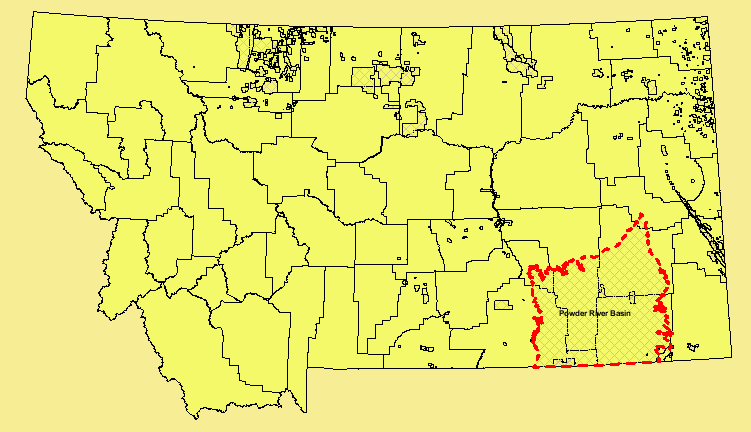
File:Map of oil and gas fields in Montana.png

From Ballotpedia
Revision as of 17:00, 25 November 2014 by LinkRotBot (contribs) (Updated timed-out link with link to Internet Archive's Wayback Machine.)
(diff) ← Older revision | Latest revision (diff) | Newer revision → (diff)
Jump to: navigation, search

Map_of_oil_and_gas_fields_in_Montana.png(751 × 432 pixels, file size: 41 KB, MIME type: image/png)


BP-Initials-UPDATED.png
This image comes from https://web.archive.org/web/2/http://www.bogc.dnrc.mt.gov:4899/website/mtcbm/viewer.htm. It is an image of an official state government document, such as the text of a law, statute, amendment or legal ruling. It has been uploaded under the good-faith belief that reproducing an image of an official state government document such as a law, statute, amendment or legal ruling does not violate the copyright laws of the state in question.


Ballotpedia:Images project
Image permissionsCopyright tags for imagesBP imagesImage categoriesImage use policyImages Project

If you have questions about Ballotpedia's use of this image that are not answered on this page,
you can send your inquiry to editor@ballotpedia.org

File history

Click on a date/time to view the file as it appeared at that time.

Date/TimeThumbnailDimensionsUserComment
current22:00, 19 August 2014Thumbnail for version as of 22:00, 19 August 2014751 × 432 (41 KB)Kayla Harris (contribs)Category:Energy policy images {{state document |link =http://www.bogc.dnrc.mt.gov:4899/website/mtcbm/viewer.htm}}

The following page uses this file: