Your feedback ensures we stay focused on the facts that matter to you most—take our survey.
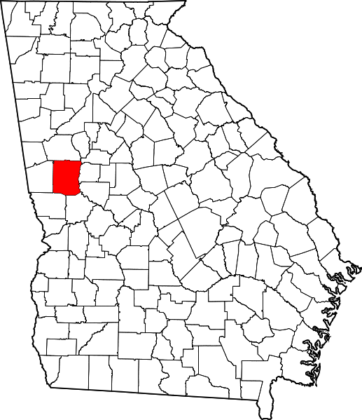
File:MeriwetherGAmap.png
From Ballotpedia
No higher resolution available.
MeriwetherGAmap.png (517 × 599 pixels, file size: 110 KB, MIME type: image/png)
This image comes from Wikimedia Commons and is in the public domain.
you can send your inquiry to editor@ballotpedia.org |
File history
Click on a date/time to view the file as it appeared at that time.
| Date/Time | Thumbnail | Dimensions | User | Comment | |
|---|---|---|---|---|---|
| current | 19:30, 6 July 2011 | | 517 × 599 (110 KB) | Andieisweird (contribs) | {{pd | link =[http://commons.wikimedia.org/wiki/File:Map_of_Georgia_highlighting_Meriwether_County.svg Wikimedia Commons] }} category:Georgia county images |
You cannot overwrite this file.
File usage
There are no pages that use this file.