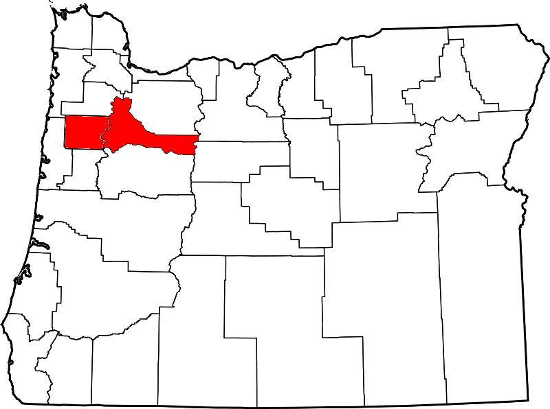
File:Map of Oregon highlighting Marion and Polk County.png
From Ballotpedia
No higher resolution available.
Map_of_Oregon_highlighting_Marion_and_Polk_County.png (800 × 596 pixels, file size: 69 KB, MIME type: image/png)
File history
Click on a date/time to view the file as it appeared at that time.
| Date/Time | Thumbnail | Dimensions | User | Comment | |
|---|---|---|---|---|---|
| current | 22:23, 18 March 2015 | | 800 × 596 (69 KB) | Margaret Koenig (contribs) |
You cannot overwrite this file.
File usage
The following 3 pages use this file: