Become part of the movement for unbiased, accessible election information. Donate today.
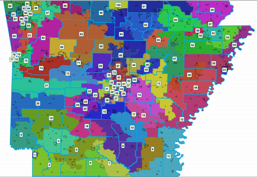
File:Arkansas House Redistricting Map 2010.png
From Ballotpedia
Size of this preview: 800 × 552 pixels. Other resolution: 1,056 × 729 pixels.
Original file (1,056 × 729 pixels, file size: 391 KB, MIME type: image/png)
you can send your inquiry to editor@ballotpedia.org |
File history
Click on a date/time to view the file as it appeared at that time.
| Date/Time | Thumbnail | Dimensions | User | Comment | |
|---|---|---|---|---|---|
| current | 04:09, 1 April 2012 | | 1,056 × 729 (391 KB) | Rmkenyon (contribs) |
You cannot overwrite this file.
File usage
The following page uses this file: