Become part of the movement for unbiased, accessible election information. Donate today.
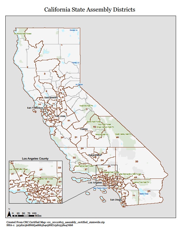
File:CA State Assembly 2010 Census Map.jpg
From Ballotpedia
Size of this preview: 478 × 599 pixels. Other resolution: 632 × 792 pixels.
Original file (632 × 792 pixels, file size: 137 KB, MIME type: image/jpeg)
This image comes from http://c365736.r36.cf2.rackcdn.com/maps_assembly_20110815_all.pdf and is in the public domain in the United States because it is a record of the State of California that was in any way "involved in the governmental process" and "prepared, owned, used or retained by any state or local agency" or officer.
you can send your inquiry to editor@ballotpedia.org |
File history
Click on a date/time to view the file as it appeared at that time.
| Date/Time | Thumbnail | Dimensions | User | Comment | |
|---|---|---|---|---|---|
| current | 20:57, 13 July 2012 | | 632 × 792 (137 KB) | PSletten (contribs) | {{pd-ca | link = http://c365736.r36.cf2.rackcdn.com/maps_assembly_20110815_all.pdf }} Category:State legislative redistricting maps, 2011 |
You cannot overwrite this file.
File usage
The following page uses this file: