Become part of the movement for unbiased, accessible election information. Donate today.
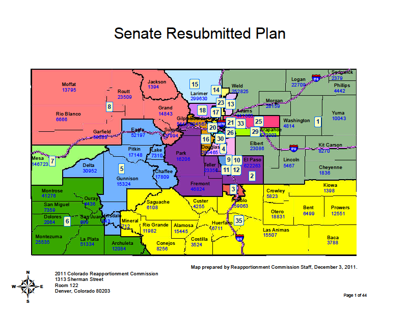
File:CO State Senate 2010 Census Map.png
From Ballotpedia
Size of this preview: 784 × 600 pixels. Other resolution: 801 × 613 pixels.
Original file (801 × 613 pixels, file size: 165 KB, MIME type: image/png)
you can send your inquiry to editor@ballotpedia.org |
File history
Click on a date/time to view the file as it appeared at that time.
| Date/Time | Thumbnail | Dimensions | User | Comment | |
|---|---|---|---|---|---|
| current | 03:57, 23 July 2012 | | 801 × 613 (165 KB) | PSletten (contribs) | {{state document|link = http://www.colorado.gov/cs/Satellite?c=Document_C&childpagename=CGA-ReDistrict%2FDocument_C%2FCBONAddLinkView&cid=1251610831311&pagename=CBONWrapper}} Category:State legislative redistricting maps, 2011 |
You cannot overwrite this file.
File usage
The following page uses this file: