Become part of the movement for unbiased, accessible election information. Donate today.
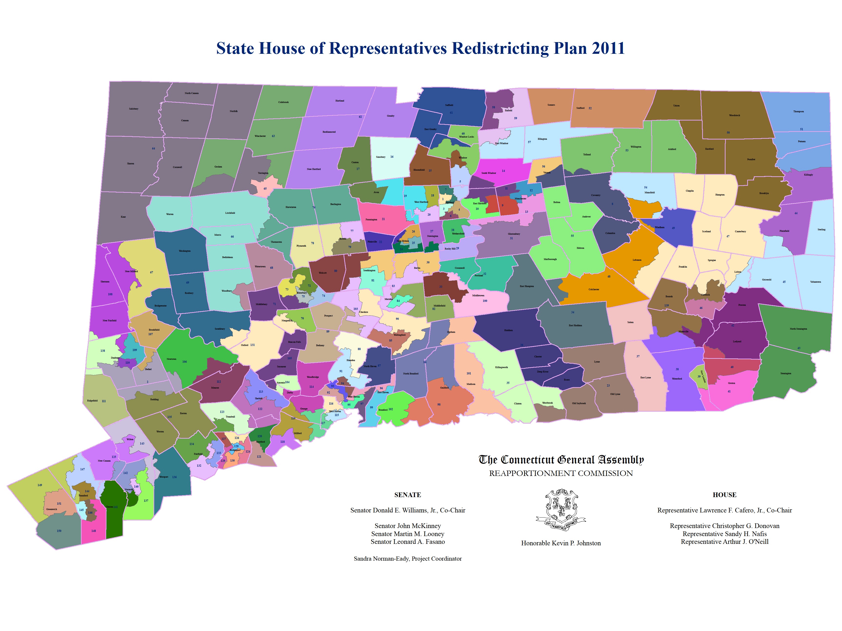
File:CT State House 2010 Census Map.jpg
From Ballotpedia
Size of this preview: 800 × 600 pixels. Other resolutions: 2,560 × 1,920 pixels | 3,456 × 2,592 pixels.
Original file (3,456 × 2,592 pixels, file size: 1.14 MB, MIME type: image/jpeg)
you can send your inquiry to editor@ballotpedia.org |
File history
Click on a date/time to view the file as it appeared at that time.
| Date/Time | Thumbnail | Dimensions | User | Comment | |
|---|---|---|---|---|---|
| current | 04:09, 23 July 2012 | | 3,456 × 2,592 (1.14 MB) | PSletten (contribs) | {{state document | link = http://www.cga.ct.gov/red2011/documents/2011/house_map.pdf}} Category:State legislative redistricting maps, 2011 |
You cannot overwrite this file.
File usage
The following page uses this file: