Help us improve in just 2 minutes—share your thoughts in our reader survey.
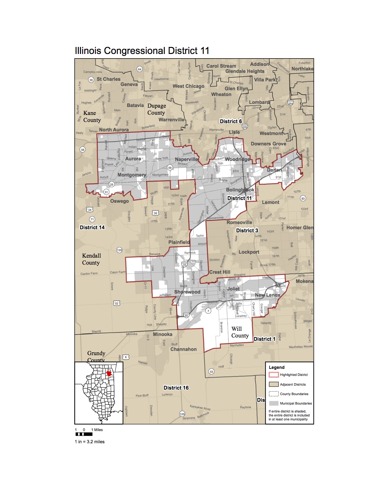
File:IL Congressional District 11 map, 2012-2020.jpg
From Ballotpedia
Size of this preview: 463 × 599 pixels. Other resolution: 1,275 × 1,650 pixels.
Original file (1,275 × 1,650 pixels, file size: 364 KB, MIME type: image/jpeg)
you can send your inquiry to editor@ballotpedia.org |
File history
Click on a date/time to view the file as it appeared at that time.
| Date/Time | Thumbnail | Dimensions | User | Comment | |
|---|---|---|---|---|---|
| current | 17:42, 10 February 2012 | | 1,275 × 1,650 (364 KB) | Ltrodgers (contribs) | {{pd-communication | link = [http://elections.il.gov/votinginformation/2011congressionaldistricts.aspx the Illinois State Board of Elections]}} Category:Congressional redistricting maps, 2011 |
You cannot overwrite this file.
File usage
The following 2 pages use this file: