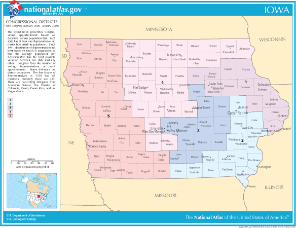
File:Iowa Congressional districts.gif
From Ballotpedia
No higher resolution available.
Iowa_Congressional_districts.gif (584 × 450 pixels, file size: 39 KB, MIME type: image/gif)
(This map is from thehttp://www.nationalatlas.gov/printable/printableViewer-cd.html?imgF=images/preview/congdist/pagecgd110_ia.gif&imgW=750&imgH=452 Federal National Atlas] site and thus in the public domain.
File history
Click on a date/time to view the file as it appeared at that time.
| Date/Time | Thumbnail | Dimensions | User | Comment | |
|---|---|---|---|---|---|
| current | 20:56, 3 February 2011 | | 584 × 450 (39 KB) | Kylecarroll1 (contribs) | (This map is from thehttp://www.nationalatlas.gov/printable/printableViewer-cd.html?imgF=images/preview/congdist/pagecgd110_ia.gif&imgW=750&imgH=452 Federal National Atlas] site and thus in the public domain. Category:Redistricting images |
You cannot overwrite this file.
File usage
The following 2 pages use this file: