Category:Redistricting images
From Ballotpedia
Subcategories
This category has the following 2 subcategories, out of 2 total.
Media in category "Redistricting images"
The following 200 files are in this category, out of 239 total.
(previous page) (next page)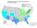 2000 census reapportionment.png 787 × 600; 93 KB
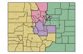 2011 CO Congressional Map.jpg 904 × 592; 123 KB
 2011 PA original map.png 1,211 × 788; 1.09 MB
 2018 PA remedial map.png 1,007 × 703; 523 KB
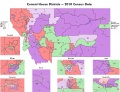
 59th WY House Districts.jpg 450 × 350; 55 KB
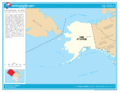
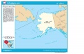 AK Congressional.JPG 960 × 612; 74 KB
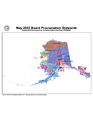
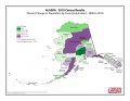 AKPopShifts.jpg 2,200 × 1,700; 215 KB
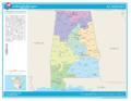
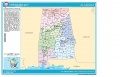 AL Congressional.JPG 960 × 612; 91 KB
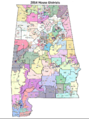 Alabama State House Districts 2011.png 706 × 947; 1.1 MB
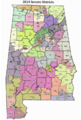 Alabama State Senate Districts 2011.png 528 × 784; 689 KB
 Alabama-congressional-map-2010.gif 792 × 612; 52 KB
 Alaska enacted Senate map May 24 2022.jpg 2,550 × 3,300; 430 KB
 Alaska-congressional-map-2010.gif 792 × 612; 44 KB
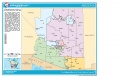
 AR 2010 House Variance.JPG 792 × 612; 106 KB
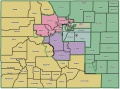
 AR 2010 Senate Variance.JPG 792 × 612; 91 KB
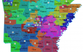
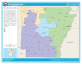
 AR Congressional.JPG 960 × 651; 102 KB
 Arizona-congressional-map-2010.gif 792 × 612; 48 KB
 Arkansas 2011 Senate Redistricting Map.png 887 × 559; 376 KB
 Arkansas-congressional-map-2010.gif 792 × 612; 56 KB
 AZ Congressional.JPG 960 × 612; 84 KB
 AZ swearing-in 2011.JPG 1,600 × 1,200; 192 KB
 BalmerMap1.jpg 550 × 407; 86 KB
 BP Redistricting logo.jpg 1,196 × 825; 136 KB
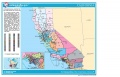 CA Congressional.JPG 960 × 612; 99 KB
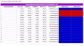 CA Registration Table.JPG 1,074 × 600; 111 KB
 California-congressional-map-2010.gif 792 × 612; 65 KB
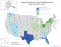 Census Apportionment 2010.jpg 600 × 459; 149 KB
 CityIntegrity1.jpg 550 × 406; 58 KB
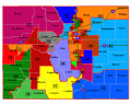
 CO 2011 Comparison Congressional Map.png 819 × 612; 132 KB
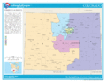
 CO House districts 2012 submission.jpg 989 × 525; 140 KB
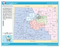
 CO Senate districts 2012 submission.jpg 946 × 529; 138 KB
 CO State House 2002.png 750 × 599; 65 KB
 CO State Senate 2002.png 750 × 599; 66 KB
 Colorado-congressional-map-2010.gif 792 × 612; 53 KB
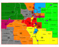
 Colorado.JPG 792 × 612; 87 KB
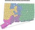 Connecticut enacted congressional map Feb 10 2022.jpg 1,857 × 1,590; 356 KB
 Connecticut-congressional-map-2010.gif 792 × 612; 48 KB
 CT Congressional.jpg 792 × 612; 79 KB
 DE Congressional.jpg 792 × 612; 147 KB
 Delaware-congressional-map-2010.gif 792 × 612; 48 KB
 Dennis Kucinich.jpg 450 × 550; 27 KB
 Dennis-Kucinich-circle.png 825 × 975; 304 KB
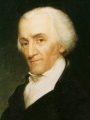 Elbridge Gerry.jpg 450 × 600; 50 KB
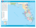
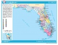 FL Congressional.jpg 792 × 612; 161 KB
 Florida-congressional-map-2010.gif 792 × 612; 62 KB
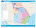
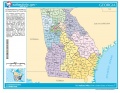 GA Congressional.jpg 792 × 612; 187 KB
 Georgia-congressional-map-2010.gif 792 × 612; 67 KB
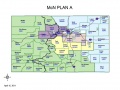 GOP Plan A.jpg 819 × 612; 136 KB
 Hawaii-congressional-map-2010.gif 792 × 612; 30 KB
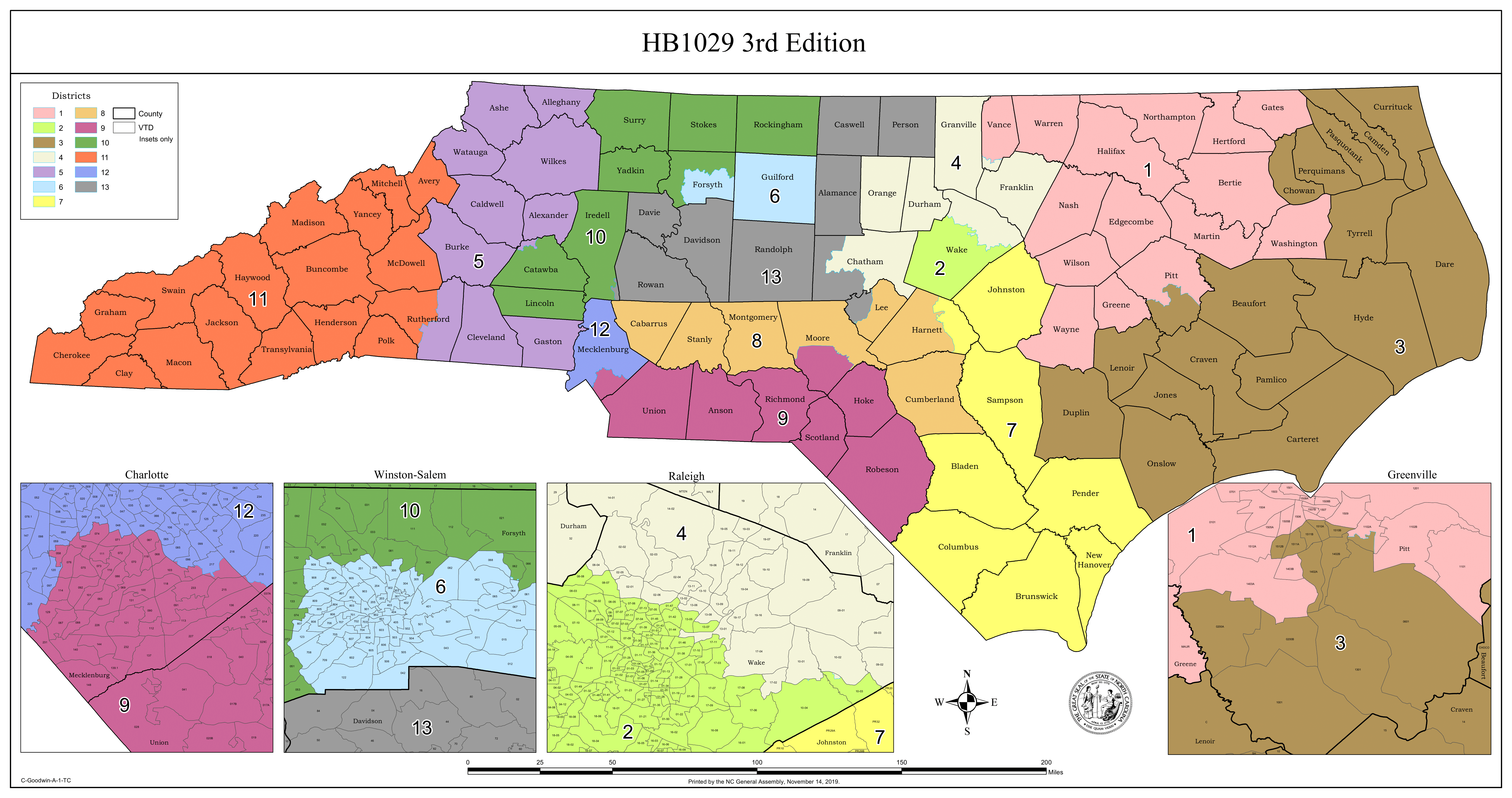 HB 1029, 3rd Edition - 19x36 Map-1.png 1,350 × 712; 411 KB
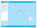
 HI Congressional.jpg 792 × 612; 98 KB
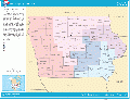
 IA Congressional.JPG 1,145 × 883; 287 KB
 ID Congressional.jpg 792 × 612; 127 KB
 Idaho-congressional-map-2010.gif 792 × 612; 42 KB
 IL Congressional districts.gif 584 × 450; 38 KB
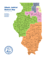 Illinois Judicial District Map 2022.png 1,700 × 2,200; 502 KB
 Illinois-congressional-map-2010.gif 792 × 612; 57 KB
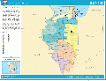
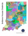
 IN Congressional.jpg 1,174 × 904; 273 KB
- Error creating thumbnail: File with dimensions greater than 12.5 MPIndiana 2020 enacted state House of Representatives map.png 4,167 × 5,500; 1.3 MB
- Error creating thumbnail: File with dimensions greater than 12.5 MPIndiana enacted congressional map.png 4,080 × 5,280; 4.22 MB
- Error creating thumbnail: File with dimensions greater than 12.5 MPIndiana enacted state House of Representatives map.png 4,167 × 5,500; 1.34 MB
- Error creating thumbnail: File with dimensions greater than 12.5 MPIndiana enacted state Senate map.png 4,080 × 5,280; 4.36 MB
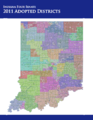
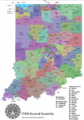 Indiana State House Districts 2011.png 523 × 748; 238 KB
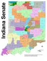
 Indiana State Senate Districts 2011.png 610 × 789; 282 KB
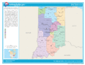 Indiana-congressional-map-2010.gif 792 × 612; 53 KB
 IndianaHouse2000.jpg 849 × 1,099; 161 KB
 IndianaSenate2000.jpg 1,699 × 2,199; 952 KB
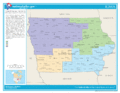
 Iowa Congressional districts.gif 584 × 450; 39 KB
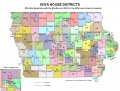 Iowa House Districts Map Pre-2010.jpg 1,008 × 768; 136 KB
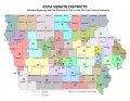 Iowa Senate Districts Map Pre-2010.jpg 1,017 × 784; 114 KB
 Iowa-congressional-map-2010.gif 792 × 612; 54 KB
 Kansas congressional map Feb 9 2022.jpg 2,550 × 3,300; 287 KB
 Kansas congressional map Feb 9 2022.png 2,465 × 1,769; 1,022 KB
 Kansas State House map 2022 as passed.jpg 2,550 × 3,300; 359 KB
 Kansas State Senate map 2022 as passed.jpg 2,550 × 3,300; 336 KB
 Kansas-congressional-map-2010.gif 792 × 612; 52 KB
 Kentucky-congressional-map-2010.gif 792 × 612; 52 KB
 KS Congressional.jpg 792 × 612; 149 KB
 KY 112th Congressional seats.png 819 × 612; 102 KB
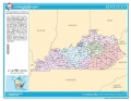 KY Congressional.JPG 792 × 612; 86 KB
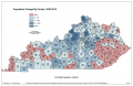 KY Population Change by County .png 1,224 × 792; 136 KB
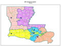
 LA 2011 HB 1 Re-engrossed.jpg 819 × 612; 158 KB
 LA 2011 HB6 Re-engrossed.jpg 819 × 612; 109 KB
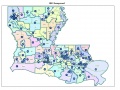
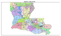
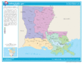
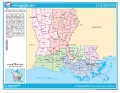 LA Congressional.JPG 792 × 612; 92 KB
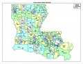 LA House 2003.JPG 792 × 612; 89 KB
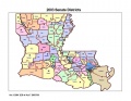 LA Senate 2003.JPG 792 × 612; 73 KB
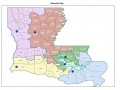
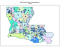
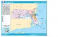
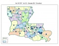 LA Senate 2011 maps.jpg 1,495 × 1,155; 261 KB
 Louisiana approved congressional map Feb 18 2022.png 2,517 × 1,917; 2.87 MB
 Louisiana approved state House map Feb 18 2022.png 2,509 × 1,957; 3.72 MB
 Louisiana approved state Senate map Feb 18 2022.png 2,509 × 1,505; 2.47 MB
 Louisiana House Draft Map 1B.jpg 819 × 612; 148 KB
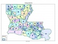
 Louisiana-congressional-map-2010.gif 792 × 612; 58 KB
 MA Congressional.JPG 960 × 612; 94 KB
 Maine enacted congressional map.pdf ; 213 KB
- Maine enacted state Senate map.pdf ; 6.09 MB
 Maine-congressional-map-2010.gif 792 × 612; 50 KB
 Maryland-congressional-map-2010.gif 792 × 612; 57 KB
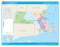
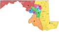
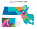 Massachusetts 2021 Congressional Districts.png 3,769 × 3,002; 1.04 MB
- Error creating thumbnail: File with dimensions greater than 12.5 MPMassachusetts Proposed House Statewide districts Oct 12-min.png 5,273 × 3,708; 835 KB
- Error creating thumbnail: File with dimensions greater than 12.5 MPMassachusetts Proposed House Statewide districts Oct 12.png 5,273 × 3,708; 2.57 MB
 Massachusetts Proposed House Statewide districts Oct 20-min.png 3,769 × 3,002; 522 KB
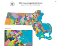 Massachusetts Proposed House Statewide districts Oct 20.png 3,769 × 3,002; 1.32 MB
- Error creating thumbnail: File with dimensions greater than 12.5 MPMassachusetts Proposed Senate Statewide districts Oct 12-min.png 7,920 × 4,920; 3.03 MB
- Error creating thumbnail: File with dimensions greater than 12.5 MPMassachusetts Proposed Senate Statewide districts Oct 12.png 7,920 × 4,920; 9.83 MB
- Error creating thumbnail: File with dimensions greater than 12.5 MPMassachusetts Proposed Senate Statewide districts Oct 19-min.png 8,019 × 5,150; 3.49 MB
- Error creating thumbnail: File with dimensions greater than 12.5 MPMassachusetts Proposed Senate Statewide districts Oct 19.png 8,019 × 5,150; 12.39 MB
 Massachusetts-congressional-map-2010.gif 792 × 612; 55 KB
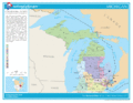
 MCRC draft map Sept 9 2021.png 1,496 × 840; 280 KB
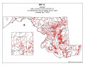 MD Assembly 2002.JPG 792 × 612; 95 KB
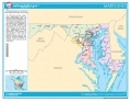 MD Congressional.JPG 792 × 612; 88 KB
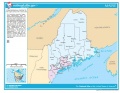 ME Congressional.JPG 792 × 612; 78 KB
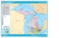 MI Congressional.JPG 960 × 612; 103 KB
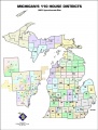 MI House 2001.jpg 560 × 740; 68 KB
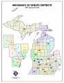 MI Senate 2001.JPG 612 × 792; 67 KB
 Michigan-congressional-map-2010.gif 792 × 612; 63 KB
 Minnesota congressional map Feb 15 2022.jpg 2,550 × 3,300; 546 KB
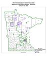
 Minnesota legislative map Feb 15 2022.jpg 2,550 × 3,300; 662 KB
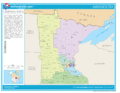 Minnesota-congressional-map-2010.gif 792 × 612; 54 KB
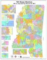
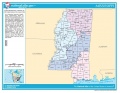
 Mississippi State House Districts March 2022 final.jpg 10,200 × 13,200; 6.59 MB
 Mississippi State House Districts March 2022.jpg 10,200 × 13,203; 7.05 MB
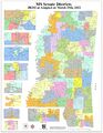 Mississippi State Senate Districts March 2022 final.jpg 10,200 × 13,200; 6.59 MB
 Mississippi-congressional-map-2010.gif 792 × 612; 51 KB
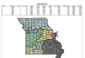
 Missouri HB193SSFullMap April 13 2011.jpg 1,260 × 960; 134 KB
 Missouri HCS193 April 11 2011.jpg 1,211 × 831; 114 KB
- Error creating thumbnail: File with dimensions greater than 12.5 MPMissouri legislative redistricting 2022 House map.png 9,600 × 9,600; 6.05 MB
- Error creating thumbnail: File with dimensions greater than 12.5 MPMissouri legislative redistricting 2022 Senate map.png 9,600 × 9,600; 3.18 MB
 Missouri-congressional-map-2010.gif 792 × 612; 56 KB
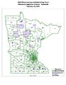
 MN Congressional districts.gif 583 × 450; 37 KB
 MNgophouse1.jpg 1,600 × 2,071; 341 KB
 MNhousecongress.jpg 1,699 × 2,199; 437 KB
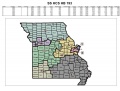
 MO Congressional.JPG 792 × 612; 94 KB
 Montana 2000 House Districts.jpg 4,179 × 3,218; 1.12 MB
 Montana state legislative districts Feb 2023 final.jpg 10,511 × 6,911; 3.64 MB
 Montana-congressional-map-2010.gif 792 × 612; 47 KB
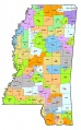
 MS Congressional.JPG 792 × 612; 83 KB
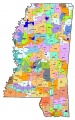 MS House 2002.jpg 346 × 552; 70 KB
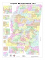 MS House Proposal 2011.JPG 3,888 × 5,185; 2.58 MB
 MS Senate 2002.jpg 350 × 564; 59 KB
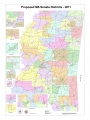 MS Senate Proposal 2011.JPG 3,888 × 5,185; 2.49 MB
 MT Congressional.JPG 792 × 612; 84 KB
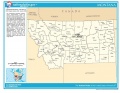
 NB Congressional.JPG 792 × 612; 75 KB
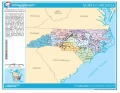 NC Congressional.jpg 792 × 612; 173 KB
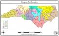 NCCongExisting.jpg 2,464 × 1,496; 390 KB
 ND Congressional.JPG 1,122 × 864; 258 KB
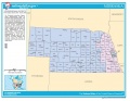
 Nebraska 2000 Census Redistricting Map.jpg 724 × 563; 123 KB
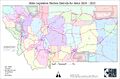
 Nebraska legislative districts.jpg 2,400 × 1,183; 827 KB
 Nebraska-congressional-map-2010.gif 792 × 612; 46 KB
 Nevada-congressional-map-2010.gif 792 × 612; 39 KB
 New-hampshire-congressional-map-2010.gif 792 × 612; 43 KB
 New-jersey-congressional-map-2010.gif 792 × 612; 55 KB
 New-mexico-congressional-map-2010.gif 792 × 612; 45 KB
 New-york-congressional-map-2010.gif 792 × 612; 73 KB
 NH Congressional.JPG 792 × 612; 71 KB
 NJ Congressional.JPG 960 × 612; 91 KB
 Njmap2001.gif 785 × 1,028; 87 KB
 NM Congressional.jpg 792 × 612; 131 KB
 North-carolina-congressional-map-2010.gif 792 × 612; 63 KB
 North-dakota-congressional-map-2010.gif 792 × 612; 45 KB
 NV Congressional.JPG 792 × 612; 67 KB
 NV House 2011.JPG 2,448 × 1,584; 458 KB
 NV Senate 2011.JPG 1,224 × 792; 145 KB
 NY Congressional.jpg 792 × 612; 198 KB
 OH Congressional districts.gif 584 × 450; 44 KB
 OH Congressional.JPG 1,152 × 890; 302 KB
 Ohio-congressional-map-2010.gif 792 × 612; 65 KB
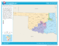
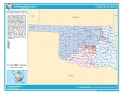 OK Congressional.JPG 792 × 612; 77 KB
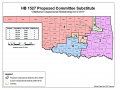 OK HB 1527 2011.png 819 × 612; 64 KB
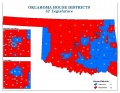 OK House.JPG 792 × 612; 77 KB
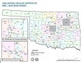 OK Senate.JPG 754 × 581; 76 KB
 Oklahoma-congressional-map-2010.gif 792 × 612; 46 KB
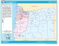 OR Congressional.JPG 792 × 612; 81 KB
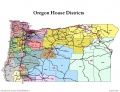 OR House.jpg 1,021 × 781; 161 KB
 OR Senate.jpg 1,021 × 781; 161 KB
 Oregon-congressional-map-2010.gif 792 × 612; 49 KB
 PA Congressional.JPG 792 × 612; 105 KB
 Pennsylvania-congressional-map-2010.gif 792 × 612; 69 KB


