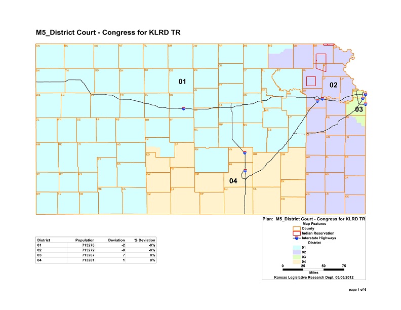
File:Kansas Congressional Map 2012.jpg
From Ballotpedia
Size of this preview: 776 × 600 pixels. Other resolution: 792 × 612 pixels.
Original file (792 × 612 pixels, file size: 94 KB, MIME type: image/jpeg)
you can send your inquiry to editor@ballotpedia.org |
File history
Click on a date/time to view the file as it appeared at that time.
| Date/Time | Thumbnail | Dimensions | User | Comment | |
|---|---|---|---|---|---|
| current | 11:59, 31 August 2012 | | 792 × 612 (94 KB) | Geoff Pallay (contribs) | |
| 01:13, 26 July 2012 | No thumbnail | 792 × 612 (94 KB) | Geoff Pallay (contribs) | ||
| 17:14, 25 July 2012 | No thumbnail | 792 × 612 (94 KB) | Geoff Pallay (contribs) | {{state document | link = http://redistricting.ks.gov/_Plans/District_Court/m5_district%20court%20-%20congressional/m5_districtcourt-congressional.html }} Category:Congressional redistricting maps, 2011 |
You cannot overwrite this file.
File usage
The following 2 pages use this file: