Help us improve in just 2 minutes—share your thoughts in our reader survey.
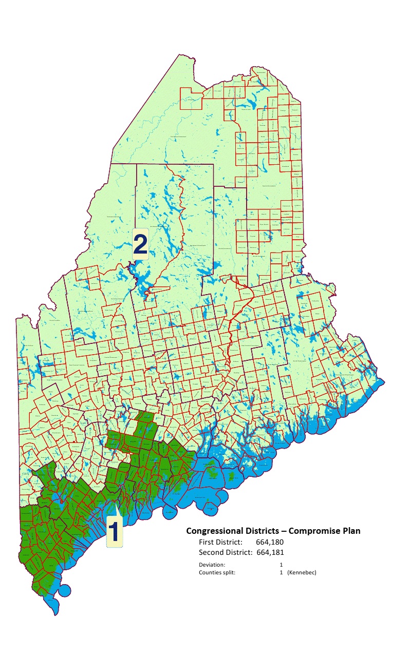
File:Maine Congressional Map 2011.jpg
From Ballotpedia
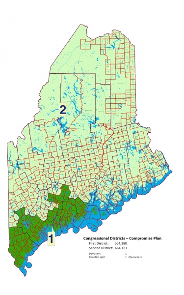
Size of this preview: 375 × 600 pixels.
Original file (800 × 1,280 pixels, file size: 372 KB, MIME type: image/jpeg)
you can send your inquiry to editor@ballotpedia.org |
File history
Click on a date/time to view the file as it appeared at that time.
| Date/Time | Thumbnail | Dimensions | User | Comment | |
|---|---|---|---|---|---|
| current | 13:48, 30 September 2011 | | 800 × 1,280 (372 KB) | Geoff Pallay (contribs) | Category:Congressional redistricting maps, 2011 {{BP permission | link = https://docs.google.com/viewer?a=v&pid=explorer&chrome=true&srcid=0B_sTN2ovvFhWMzA2YWNmNzktN2JjYi00Nzk3LTlhMWEtNjRmYjVmNzljZDhh&hl=en}} |
You cannot overwrite this file.