Your feedback ensures we stay focused on the facts that matter to you most—take our survey.
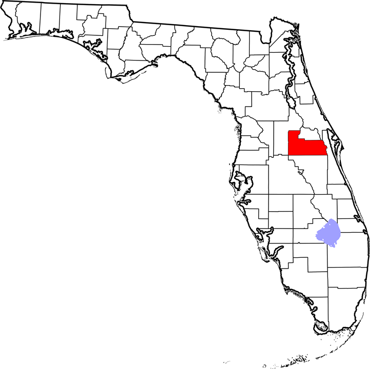
File:Map of Florida highlighting Orange County.png
From Ballotpedia
Size of this preview: 601 × 599 pixels. Other resolution: 722 × 720 pixels.
Original file (722 × 720 pixels, file size: 94 KB, MIME type: image/png)
This image comes from 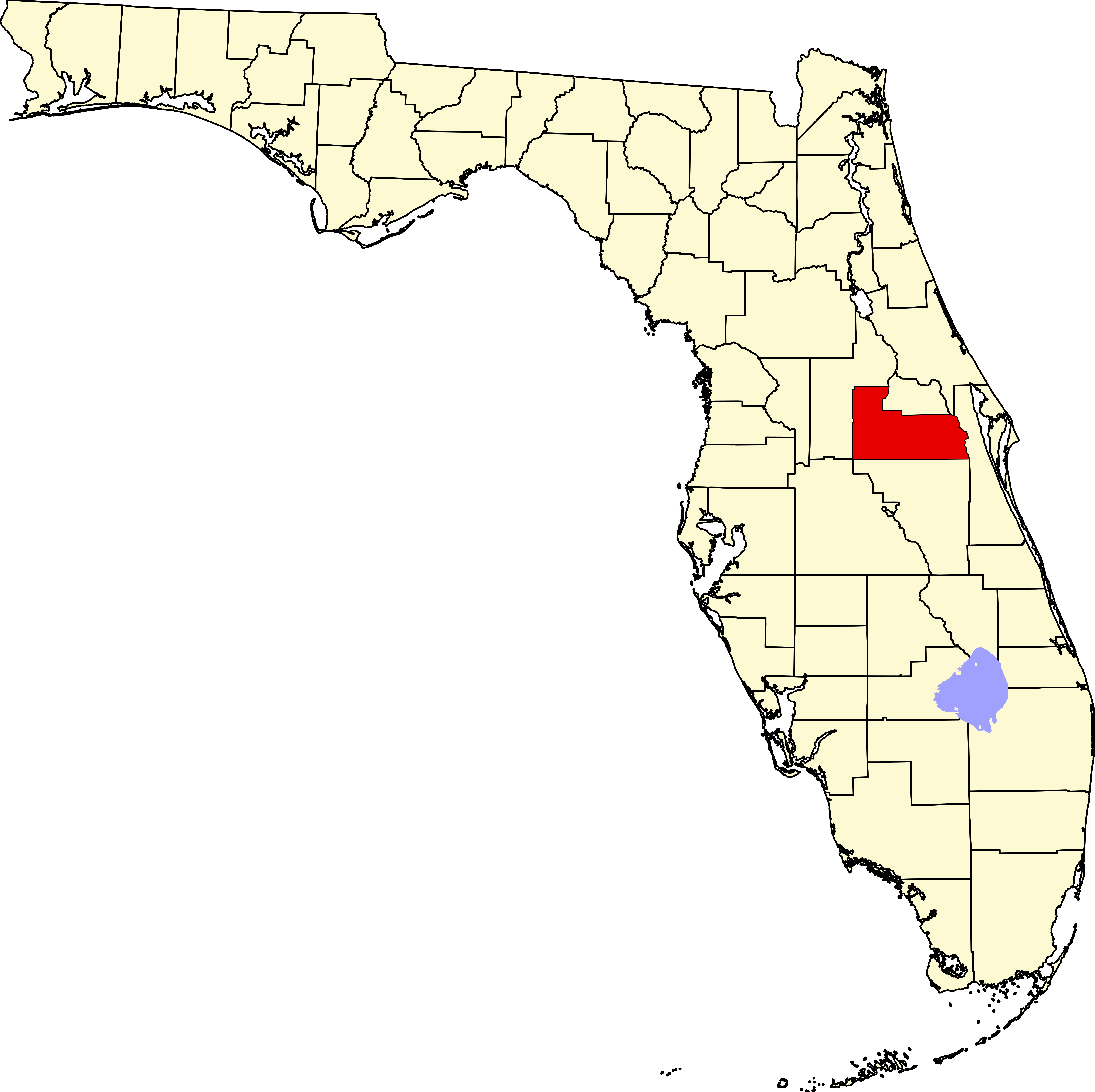 and is in the public domain.
and is in the public domain.
you can send your inquiry to editor@ballotpedia.org |
File history
Click on a date/time to view the file as it appeared at that time.
| Date/Time | Thumbnail | Dimensions | User | Comment | |
|---|---|---|---|---|---|
| current | 06:36, 29 September 2017 | | 722 × 720 (94 KB) | Karen Shanton (contribs) | {{pd | link = https://upload.wikimedia.org/wikipedia/commons/thumb/7/73/Map_of_Florida_highlighting_Orange_County.svg/7342px-Map_of_Florida_highlighting_Orange_County.svg.png}} Category:Municipal charts and maps |
You cannot overwrite this file.
File usage
The following page uses this file: