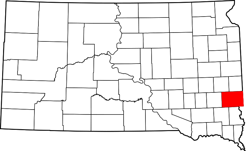
File:Map of South Dakota highlighting Minnehaha County.png
From Ballotpedia
No higher resolution available.
Map_of_South_Dakota_highlighting_Minnehaha_County.png (800 × 492 pixels, file size: 67 KB, MIME type: image/png)
This image comes from Wikimedia Commons and is in the public domain.
you can send your inquiry to editor@ballotpedia.org |
File history
Click on a date/time to view the file as it appeared at that time.
| Date/Time | Thumbnail | Dimensions | User | Comment | |
|---|---|---|---|---|---|
| current | 16:24, 11 February 2014 | | 800 × 492 (67 KB) | KaylaM (contribs) | {{pd| link=[http://commons.wikimedia.org/wiki/File:Map_of_South_Dakota_highlighting_Minnehaha_County.svg Wikimedia Commons]}} Category:South Dakota maps Category:School board map images |
You cannot overwrite this file.
File usage
The following file is a duplicate of this file (more details):