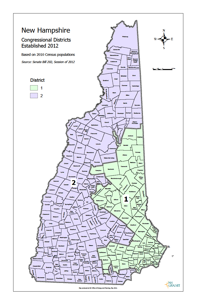
File:New Hampshire Congress Map 2012.png
From Ballotpedia
Size of this preview: 388 × 600 pixels. Other resolution: 792 × 1,224 pixels.
Original file (792 × 1,224 pixels, file size: 211 KB, MIME type: image/png)
you can send your inquiry to editor@ballotpedia.org |
File history
Click on a date/time to view the file as it appeared at that time.
| Date/Time | Thumbnail | Dimensions | User | Comment | |
|---|---|---|---|---|---|
| current | 20:30, 25 July 2012 | | 792 × 1,224 (211 KB) | Geoff Pallay (contribs) | {{state document | link = http://www.nh.gov/oep/programs/GIS/documents/us_congressional_districts_2012.pdf }} Category:Congressional redistricting maps, 2011 |
You cannot overwrite this file.