Help us improve in just 2 minutes—share your thoughts in our reader survey.
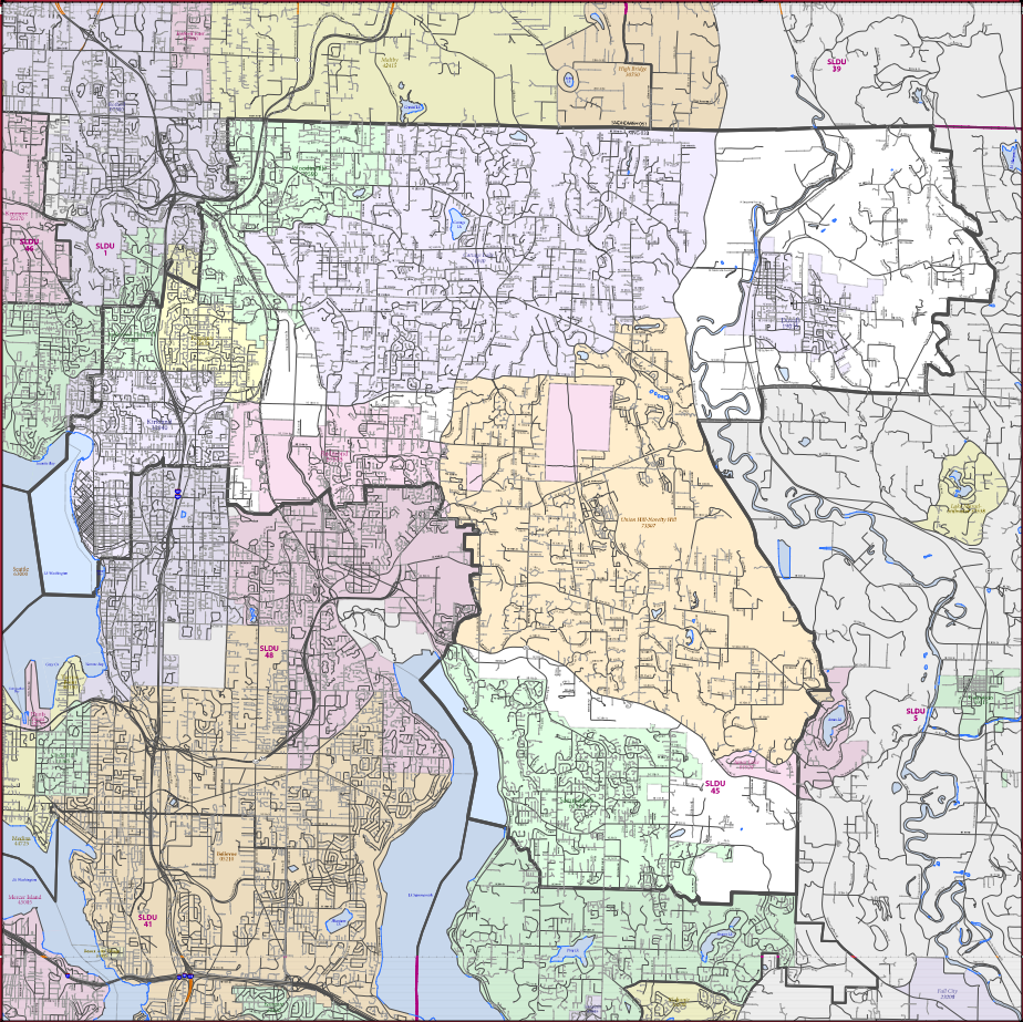
File:WA SD45 district map.png
From Ballotpedia
Size of this preview: 600 × 599 pixels. Other resolution: 924 × 923 pixels.
Original file (924 × 923 pixels, file size: 943 KB, MIME type: image/png)
This image comes from the https://www2.census.gov/geo/maps/dc10map/SLD_RefMap/upper/st53_wa/sldu53045/DC10SLDU53045_001.pdf website. The fair use doctrine permits the limited use of copyrighted material without requiring permission from the copyright holder, provided such use is for educational or research purposes. For details on the permission, please see our non-free use rationale guidelines for images. The copyright holder reserves all rights.
you can send your inquiry to editor@ballotpedia.org |
File history
Click on a date/time to view the file as it appeared at that time.
| Date/Time | Thumbnail | Dimensions | User | Comment | |
|---|---|---|---|---|---|
| current | 10:02, 6 July 2017 | | 924 × 923 (943 KB) | Tyler King (contribs) | {{FairUse | link =https://www2.census.gov/geo/maps/dc10map/SLD_RefMap/upper/st53_wa/sldu53045/DC10SLDU53045_001.pdf }} |
You cannot overwrite this file.