Become part of the movement for unbiased, accessible election information. Donate today.
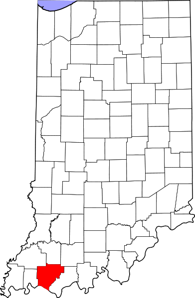
File:Map of Warrick County Indiana.png
From Ballotpedia
No higher resolution available.
Map_of_Warrick_County_Indiana.png (391 × 599 pixels, file size: 50 KB, MIME type: image/png)
{{logo fur | Source = http://en.wikipedia.org/wiki/File:Map_of_Indiana_highlighting_Warrick_County.svg | Article = Warrick County School Corporation, Indiana
File history
Click on a date/time to view the file as it appeared at that time.
| Date/Time | Thumbnail | Dimensions | User | Comment | |
|---|---|---|---|---|---|
| current | 14:35, 29 April 2014 | | 391 × 599 (50 KB) | AlexanderS (contribs) | {{logo fur | Source = http://en.wikipedia.org/wiki/File:Map_of_Indiana_highlighting_Warrick_County.svg | Article = Warrick County School Corporation, Indiana Category:Images of school board maps |
You cannot overwrite this file.
File usage
The following file is a duplicate of this file (more details):
The following 3 pages use this file: