Your feedback ensures we stay focused on the facts that matter to you most—take our survey.
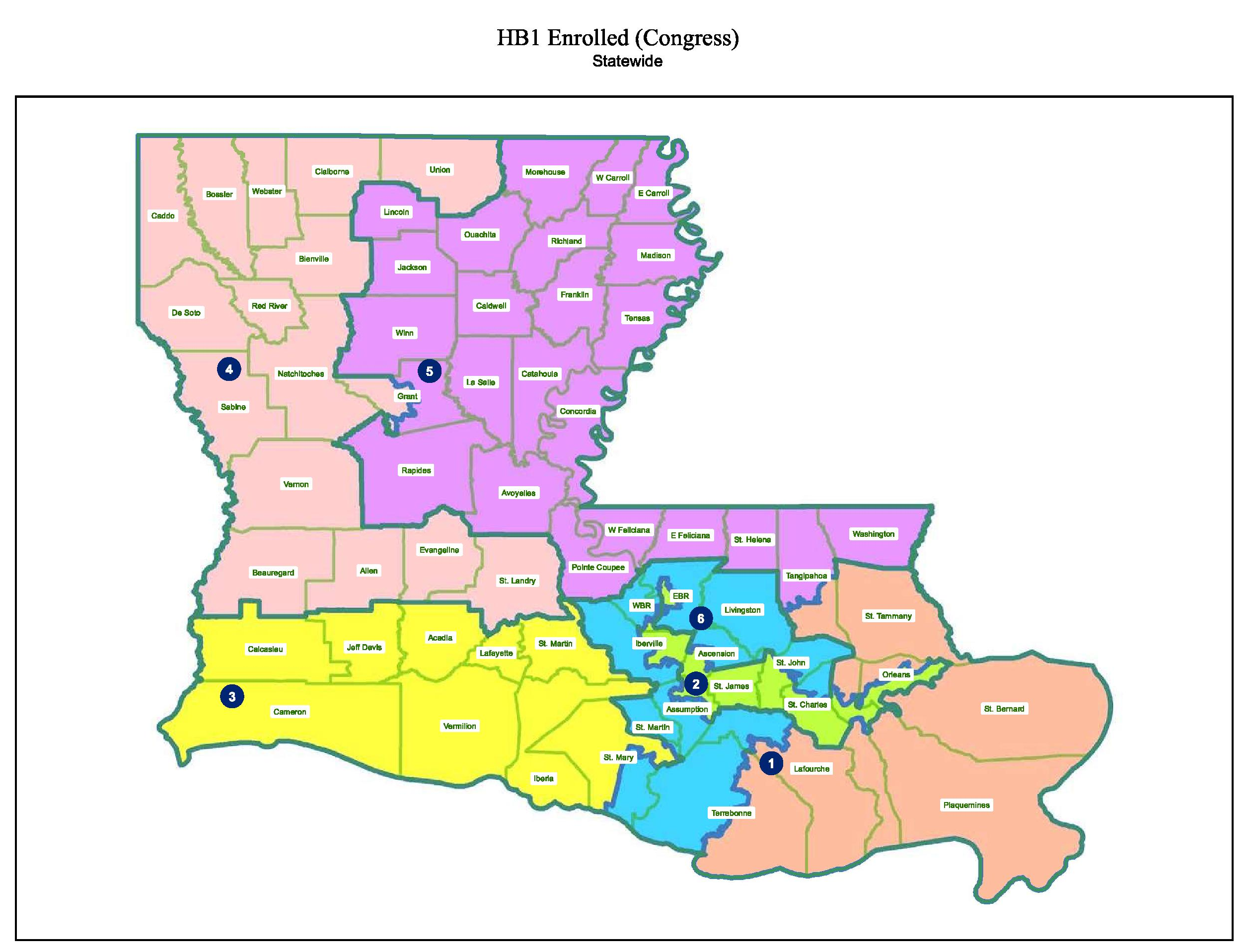
File:Louisiana approved congressional map Feb 18 2022.png
From Ballotpedia
Size of this preview: 787 × 599 pixels. Other resolution: 2,517 × 1,917 pixels.
Original file (2,517 × 1,917 pixels, file size: 2.87 MB, MIME type: image/png)
Summary
you can send your inquiry to editor@ballotpedia.org |
File history
Click on a date/time to view the file as it appeared at that time.
| Date/Time | Thumbnail | Dimensions | User | Comment | |
|---|---|---|---|---|---|
| current | 22:30, 24 February 2022 | | 2,517 × 1,917 (2.87 MB) | Dave Beaudoin (contribs) | {{State document | link = https://legis.la.gov/legis/ViewDocument.aspx?d=1248568}} Category: Redistricting images |
You cannot overwrite this file.
File usage
The following page uses this file: