Help us improve in just 2 minutes—share your thoughts in our reader survey.
File:Map of oil and gas well counts U.S.png
From Ballotpedia
No higher resolution available.
Map_of_oil_and_gas_well_counts_U.S.png (602 × 406 pixels, file size: 327 KB, MIME type: image/png)
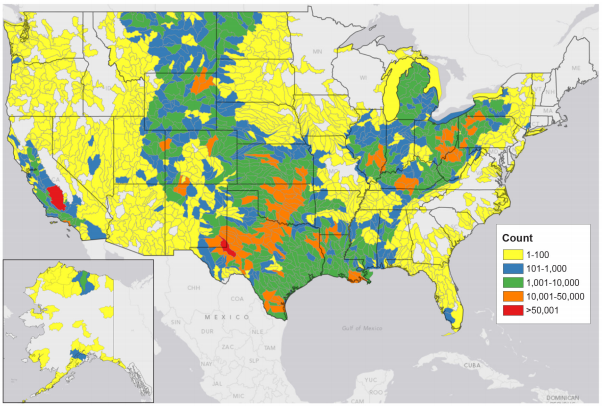
This image comes from http://energy.gov/sites/prod/files/2013/04/f0/how_is_shale_gas_produced.pdf and is in the public domain in the United States because it is a work of the United States Federal Government under the terms of Title 17, Chapter 1, Section 105 of the United States Code.
Note: This only applies to works of the Federal Government and not to the work of any individual state, territory, commonwealth, county, municipality, or any other subdivision. This template also does not apply to postage stamp designs published by the United States Postal Service since 1978. (See 206.02(b) of Compendium II: Copyright Office Practices).
you can send your inquiry to editor@ballotpedia.org |
File history
Click on a date/time to view the file as it appeared at that time.
| Date/Time | Thumbnail | Dimensions | User | Comment | |
|---|---|---|---|---|---|
| current | 22:33, 25 June 2014 | | 602 × 406 (327 KB) | Kayla Harris (contribs) | Category:Energy policy images {{pd-fedgov | link = http://energy.gov/sites/prod/files/2013/04/f0/how_is_shale_gas_produced.pdf }} |
You cannot overwrite this file.
File usage
The following 3 pages use this file: