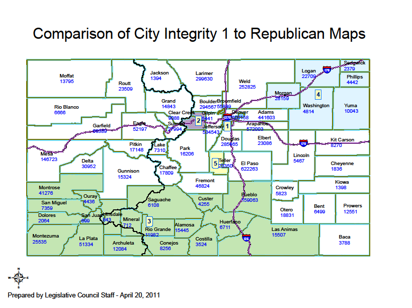
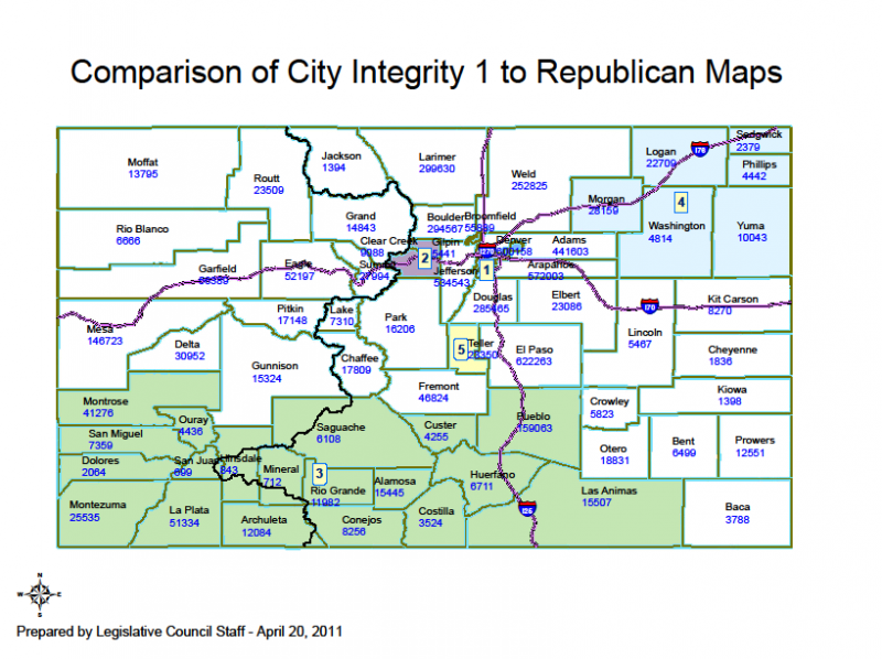
File:CO 2011 Comparison Congressional Map.png
From Ballotpedia
Size of this preview: 800 × 598 pixels. Other resolution: 819 × 612 pixels.
Original file (819 × 612 pixels, file size: 132 KB, MIME type: image/png)
you can send your inquiry to editor@ballotpedia.org |
File history
Click on a date/time to view the file as it appeared at that time.
| Date/Time | Thumbnail | Dimensions | User | Comment | |
|---|---|---|---|---|---|
| current | 00:35, 25 May 2011 | | 819 × 612 (132 KB) | EMMahony (contribs) | {{BP permission | link = http://www.colorado.gov/cs/Satellite?blobcol=urldata&blobheadername1=Content-Disposition&blobheadername2=Content-Type&blobheadervalue1=inline%3B+filename%3D%22Comparison+of+City+Integirty+1+and+Republican+Maps.pdf%22&blobheade |
You cannot overwrite this file.
File usage
The following page uses this file: